The phrase cycling app covers three unrelated jobs, and an app good at one is usually mediocre at the others. Planning a ride you have never done is a mapping problem. Recording what you rode and comparing it with last month is a data problem. Crossing a city you know is neither. Which one you are solving decides the app, the subscription, and whether the phone belongs on the bar.
Komoot is our best overall pick because its listing on 28 August 2026 showed 4.3 stars, no advertising label and purchases from $0.99 to $124.99.
OsmAnd is our best free offline mapping pick because its listing on 28 August 2026 showed 4.5 stars, no advertising label and a free install, with purchases from $1.63.
Ride with GPS is our club pick because its listing on 28 August 2026 declared no data shared with third parties, at 4.6 stars with no advertising label.
Data checked: 3 September 2026.
Updated August 2026 · every rating, review count, in-app purchase range, advertising label and listing date on this page was re-read from Google Play on 28 August 2026
Money is the second question, and it has moved: recording stays free, while offline maps, voice navigation and deeper analysis are what you pay for. Every rating, price, in-app purchase range and advertising label below was read off the app's own Google Play listing on 3 September 2026.
If your riding is urban and all you want is a turn by turn route across town, a general navigation app is enough: see the best GPS navigation apps for Android. Everything below is for the rides where directions alone are not the whole job.
Plan a route you have not ridden
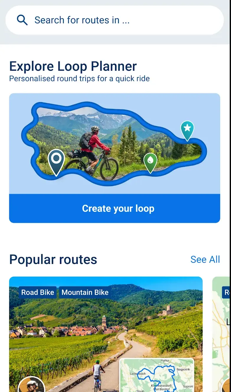
Komoot by komoot GmbH is where most planners land: 4.3 stars from 422,223 ratings when the listing was read on 28 August 2026, in-app purchases of $0.99 to $124.99 per item, no ads label, updated 27 August 2026. Its listing describes routing by surface and bike type, with the elevation profile up front, and says your first region is free forever, the rest sold as regions, bundles or a World Pack. Check the purchase screen first.
Ride a route somebody else drew
Bikemap works the other way round: a large library of routes drawn by other riders, with offline navigation once maps are downloaded. 4.2 stars from 61,256 ratings read on 28 August 2026, in-app purchases of $0.99 to $49.99 per item, no ads label, updated 25 August 2026.
Cue sheets and head unit sync
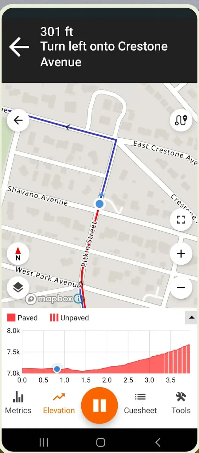
Ride with GPS suits clubs and long routes: cue sheets, offline maps, heatmaps, route sync to Garmin, Wahoo and Hammerhead head units, and a seven day trial, all per its listing. 4.6 stars from 18,744 ratings read on 28 August 2026, in-app purchases of $2.00 to $79.99 per item, no ads label, updated 18 August 2026, and a Data Safety section that declares no data shared with third parties.
The commute, and nothing more
Google Maps covers the commute for nothing, at 3.2 stars from 19,540,196 ratings read on 28 August 2026, with the Contains ads label and no in-app purchases listed. The cycling mode prefers bike lanes and quieter streets, but Google documents offline areas as driving directions only.
Offline maps without a subscription
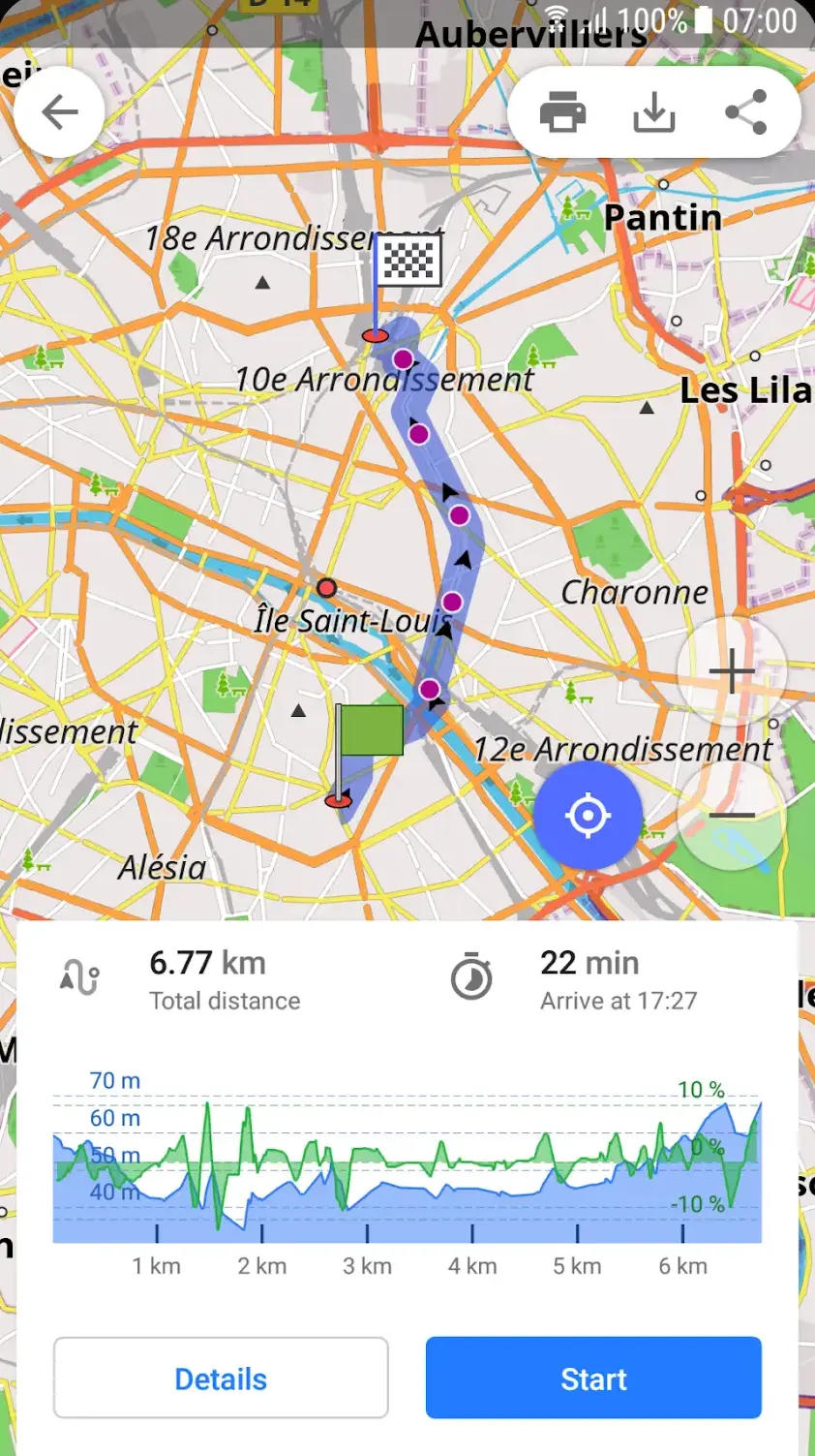
OsmAnd is the way to have offline maps without a subscription: 4.5 stars from 248,622 ratings read on 28 August 2026, in-app purchases of $1.63 to $69.99 per item, no ads label, updated 24 August 2026. Built on OpenStreetMap, it carries a bicycle navigation profile, records tracks offline, and its Data Safety section declares no data shared with third parties while stating that the app may collect some data types. The free tier caps map downloads; the paid tiers lift the cap and add external sensors.
The mechanics are in how to download offline maps on Android.
The ride log and the social feed
Strava sits at 4.6 stars from 1,173,192 ratings read on 28 August 2026, in-app purchases of $2.99 to $249.99 per item, no ads label, updated 24 August 2026. Its Data Safety section declares that it may share data with third parties, which is worth knowing before the social feed is switched on. Free covers recording, following people, the Beacon location share and the top ten of a segment leaderboard. Strava's help pages put the rest of that leaderboard, segment analysis, the Routes planner, Live Segments and the training log in the subscription. Free Strava is a ride log and a social feed, not a planner.
Recording without an account
Urban Biker, whose listing is now titled U Biker: GPS Tracks under the same Urban Biker developer name, is the quiet alternative: 4.5 stars from 25,692 ratings read on 28 August 2026, in-app purchases of $0.49 to $5.99 per item, no ads label, updated 12 August 2026. Its description opens with no account required and no ads, then lists over 75 statistics per activity, Bluetooth sensors, CSV export and a FenceGuard option that hides your home from tracks.
If cycling is part of a wider goal, the numbers belong in a fitness app, and for days off the bike see the best pedometer apps for Android.
A heart rate strap, cadence or speed sensor and power meter all speak standard Bluetooth Low Energy, so none is tied to one app. Ride with GPS lists heart rate, speed, cadence and power pairing, Urban Biker lists Bluetooth alongside ANT plus, and OsmAnd puts sensors behind Pro. Beware anything that speaks only ANT plus, since few phones carry that radio.
Companion for Garmin hardware
Garmin Connect (4.4 stars from 1,105,111 ratings, no ads label and no in-app purchases listed, listing updated 27 August 2026 and read on 28 August 2026) is a companion rather than a tracker: it pairs Garmin hardware and syncs on to Strava.
Companion for Wahoo head units
Wahoo's ELEMNT app does the same for its head units, pulling routes from Strava, Ride with GPS and Komoot. It carries no ads label and lists no in-app purchases, but sits at 2.8 stars from 5,547 ratings, on a listing last updated 12 May 2026, three months before it was read on 28 August 2026.
With a head unit recording, the phone can stay in a pocket with the screen off and sync afterwards.
Positioning plus a screen bright enough to read in sunlight is what empties a battery outdoors. The Garmin Connect listing says as much: continued use of GPS running in the background can dramatically decrease battery life.
Apple published a support note warning that high amplitude vibration, such as a motorcycle engine's through a handlebar mount, can degrade a phone camera's optical image stabilisation and closed loop autofocus. Android flagships use the same components. A bicycle is milder, but cobbles and a rigid clamp still pass plenty through. Prefer a mount with a rubber or silicone interface, and if that phone is also your camera, carry it in a bar bag.
Live tracking is worth switching on. Strava's listing describes Beacon, sharing your location with chosen people, and Ride with GPS offers shareable live tracking. Crash detection is different: Garmin documents incident detection on compatible watches and head units, not in a phone app.
A torch app is not a bike light: it points the wrong way and drains the battery navigation needs. Buy proper lights.
A tracker hidden in the frame buys a chance, not a guarantee.
A tag hidden in the frame
Tile (4.7 stars from 266,572 ratings read on 28 August 2026, no ads label, in-app purchases of $2.99 to $99.99 per item, listing updated 22 June 2026) rings within Bluetooth range, or reports its last known location through the app's network.
Tags on Android's own network
Google's Find Hub (4.2 stars from 1,668,323 ratings read on 28 August 2026, no ads label and no in-app purchases listed) does the same for compatible tags, across a much larger network of Android phones.
Both depend on another phone passing close by, so photograph the frame number and register it. Your phone needs the same care: see how to set up theft protection on Android.
Privacy gets fixed too late. These services feed rides into public heatmaps and can show activities publicly by default, publishing where you live and when you leave. Strava's listing offers map visibility editing to hide an activity's start and end, and Urban Biker has FenceGuard. A ride tracker needs location while in use and nothing more: see how to manage app permissions on Android.
Install one, not five. Two recorders logging the same ride leave you two files to reconcile and nothing else, and the battery savings come from the screen, not from the app count. More in health and fitness.
How we verify
Every rating, review count, price, in-app purchase range, advertising label and last-updated date on this page was read off each app's own Google Play listing on 28 August 2026, in the United States store in English, with each listing matched by package name so no figure can come from a neighbouring app. Data Safety wording is quoted from those same listings, and feature descriptions come from the developers' own listings and documentation. Nothing here is a test result: we verify listings, we do not ride with the apps and report it as evidence. Prices and ratings are re-read quarterly.
Checked 3 September 2026.
Checked 28 August 2026: Komoot moved to 4.3 from 422,223 ratings, Garmin Connect to 4.4 from 1,105,111, Bikemap to 61,256 ratings and Strava to 1,173,192. The claim that OsmAnd's listing says it collects no user data was withdrawn: its Data Safety section declares no data shared with third parties, but it also states the app may collect data. Urban Biker's listing is now titled U Biker: GPS Tracks.
Komoot for something new: its listing describes routing by surface and bike type, with the elevation profile shown before you set off. Bikemap for picking up a route somebody else has drawn nearby. Both navigate offline once maps are downloaded.
Yes, for recording and the social side. Free covers recording, following people, the Beacon location share and the top ten of a segment leaderboard, while Strava's help pages put the rest of the leaderboard, segment analysis, the Routes planner and the training log in the subscription. Treat free Strava as a ride log.
Not necessarily. OsmAnd is built on OpenStreetMap and works fully offline, with a cap on free downloads that a paid tier lifts. Komoot gives one region free for good. Google Maps offline areas are documented as covering driving directions only.
The screen costs more than the positioning, so ride with the display off and let voice prompts work. Download maps in advance, pick a recorder that sleeps the GPS when you stop, and carry a power bank. Garmin's listing warns that continuous background GPS can dramatically reduce battery life.
Usually yes, over Bluetooth Low Energy. Ride with GPS lists heart rate, speed, cadence and power meter pairing, and Urban Biker lists Bluetooth alongside ANT plus. Sensors that speak only ANT plus are the trap, since few current phones carry that radio.
Not reliably. Several services show activities publicly and feed rides into heatmaps, revealing where you live and when you set out. Go through the visibility settings before your first ride, hide the start and end points, and grant location only while the app is in use.
 10 Phone Tracker Apps for Android: What Each One SharesNavigation & Auto